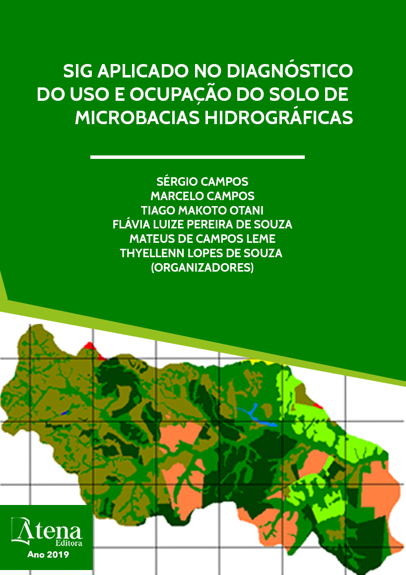
USO DA TERRA DA MICROBACIA DO RIBEIRÃO DESCALVADO, BOTUCATU, SP, NO PERÍODO DE 44 ANOS PERÍODO
O presente trabalho visou
discriminar, mapear e quantificar as áreas de uso
da terra da microbacia do Ribeirão Descalvado
- Botucatu (SP), obtido por fotografias aéreas
pancromáticas. Foram utilizados como bases
cartográficas: a carta planialtimétrica, editada
pelo Instituto Brasileiro de Geografia e
Estatística – IBGE em 1969, folha de Botucatu,
escala 1:50.000 para obtenção dos pontos de
controle que foram utilizados no processo de
georreferenciamento e as fotografias aéreas
pancromáticas provenientes das coberturas
aerofotogramétricas do Estado de São Paulo,
de 1962, com escala nominal aproximada
de 1:25000, recobrimento longitudinal de
aproximadamente 60% e 30% na lateral para
delimitação das coberturas vegetais. O software
CARTALINX foi utilizado para conversão
da informação analógica para digital e para
determinação das áreas das coberturas vegetais,
bem como para sua avaliação. O estudo do uso
da terra na microbacia mostra que as pastagens,
as capoeiras e os reflorestamentos foram as
coberturas vegetais que ocuparam maior parte
da área, representando mais de 92% (92,30%).
Destes, as pastagens (42,66%) e a capoeira
(39,38%) representaram mais de 82% da área
(82,04%), ou seja, cobriam 1682,7ha, mostrando
com isso a predominância de solos de baixa
fertilidade. As fotografias aéreas pancromáticas
permitiram o mapeamento do uso da terra de
maneira confiável, que servirão de dados para
futuros planejamentos na região, bem como
vem sendo ambientalmente degradada, pois
há deficiência de florestamento (15%), visto
que se apresenta coberta apenas com 5 %
de mata (matas ciliares, zonas de cerrado e
de florestas propriamente ditas) sendo que o
mínimo exigido pelo Código Florestal Brasileiro
vigente é de 20%.O alto índice de ocupação do
solo por pastagem na bacia (42,66%), reflete a
predominância da pecuária regional.
USO DA TERRA DA MICROBACIA DO RIBEIRÃO DESCALVADO, BOTUCATU, SP, NO PERÍODO DE 44 ANOS PERÍODO
-
DOI: 10.22533/at.ed.9631919119
-
Palavras-chave: microbacia, sensoriamento remoto e Software CARTALINX.
-
Keywords: microbasin, remote sensing and CARTALINX Software.
-
Abstract:
The present work aimed to
discriminate, map and quantify the land use
areas of the Ribeirão Descalvado - Botucatu
(SP) microbasin, obtained by panchromatic
aerial photographs. The following cartographic
bases were used: the planialtimetric chart,
edited by the Brazilian Institute of Geography
and Statistics - IBGE in 1969, Botucatu sheet,
scale 1: 50.000 to obtain the control points that
Capítulo 9 49
were used in the georeferencing process and the panchromatic aerial photographs from
of the aerial photographic coverage of the State of. from 1962, with an approximate
nominal scale of 1: 25.000, longitudinal covering of approximately 60% and 30% on
the lateral to delimit the vegetal cover. The CARTALINX software was used for the
conversion of analog to digital information and for the determination of the vegetation
cover areas, as well as for its evaluation. The study of land use in the watershed shows
that pastures, capoeiras and reforestation were the vegetation cover that occupied
most of the area, representing more than 92% (92.30%). Of these, pastures (42.66%)
and capoeira (39.38%) represented more than 82% of the area (82.04%), that is, they
covered 1682.7ha, showing the predominance of low soils fertility. Panchromatic aerial
photographs have allowed a reliable mapping of land use, which will serve as data
for future planning in the region, as well as being environmentally degraded, as there
is a deficiency of afforestation (15%), as it is only covered with 5 % of forest (riparian
forests, cerrado and proper forests) and the minimum required by the current Brazilian
Forest Code is 20%. The high rate of land occupation by pasture in the basin (42.66%)
reflects the predominance of regional livestock.
-
Número de páginas: 15
- Jacqueline Rosa Faita
- Sérgio Campos
- Ana Paula Barbosa
- Leandro Moreira Manzano
- Joyce Jardim
- Natália Sousa Ceragioli
- Bruno


