
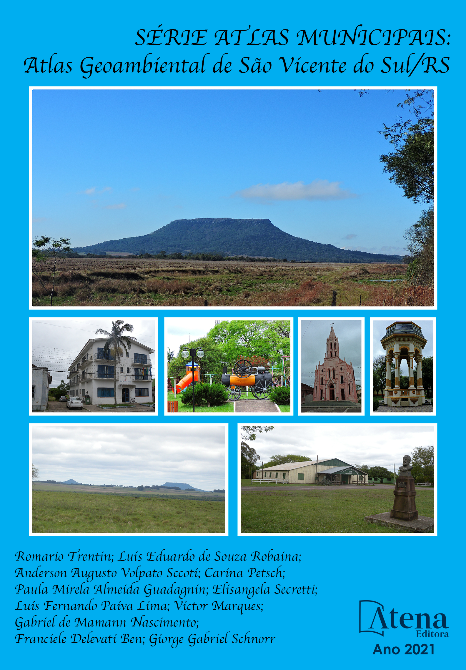
SÉRIE ATLAS MUNICIPAIS: ATLAS GEOAMBIENTAL DE SÃO VICENTE DO SUL
A construção do Atlas Geoambiental municipal é resultado do trabalho coletivo de zoneamentos, desenvolvidos durante os últimos anos pelo grupo de Pesquisa do Laboratório de Geologia Ambiental do Departamento de Geociências da Universidade Federal de Santa Maria, com apoio financeiro da FAPERGS, UFSM/FIEX e CNPq. Os trabalhos de zoneamento geoambientais consistem na análise unificada do espaço geográfico, através de conceitos e métodos que procuram integrar sociedade e natureza que se desenvolve por meio da abordagem sistêmica da Paisagem. O Atlas desenvolvido apresenta uma abordagem típica da cartografia geoambiental, que por meio de mapas temáticos, fotografias, tabelas e gráficos, sintetiza informações sobre o município como dados socioeconômicos, histórico, localização, aspectos da hidrografia local, relevo, geologia, solos, clima etc. A partir dessa compilação de informações ilustrada, tem-se um material que sintetiza e correlaciona atributos de determinada área. O atlas busca proporcionar a difusão dos conhecimentos sobre a perspectiva da análise do lugar em que vivemos e suas inúmeras relações que podem estar estabelecidas entre a interface homem x natureza. Dessa forma, o atlas geoambiental de São Francisco de Assis se mostra um instrumento didático uma vez que informações sobrepostas, analisadas e relacionadas entre si, permitem melhor entendimento do lugar.
SÉRIE ATLAS MUNICIPAIS: ATLAS GEOAMBIENTAL DE SÃO VICENTE DO SUL
-
DOI: 10.22533/at.ed.831211105
-
Palavras-chave: Atlas; Mapeamento Geoambiental, caderno didático
-
Keywords: Atlas; Geoenvironmental Mapping, textbook
-
Abstract:
The construction of the municipal Geoenvironmental Atlas is the result of the collective zoning work developed over the last few years by the Research Group of the Environmental Geology Laboratory of the Department of Geosciences at the Federal University of Santa Maria, with financial support from FAPERGS, UFSM / FIEX and CNPq .The geoenvironmental zoning work consists of the unified analysis of the geographical space, through concepts and methods that seek to integrate society and nature that is developed through the systemic approach of Landscape. The developed Atlas presents a typical approach to geoenvironmental cartography, which, through thematic maps, photographs, tables and graphs, synthesizes information about the municipality such as socioeconomic data, history, location, aspects of local hydrography, relief, geology, soils, climate, etc. From this compilation of illustrated information, there is a material that synthesizes and correlates attributes of a certain area. The atlas seeks to provide the dissemination of knowledge about the perspective of analyzing the place in which we live and its innumerable relationships that may be established between the human x nature interface. Thus, the geo-environmental atlas of São Francisco de Assis proves to be a didactic tool since overlapping information, analyzed and related to each other, allows a better understanding of the place.
-
Número de páginas: 92
- Giorge Gabriel Schnorr
- Franciele Delevati Ben
- Gabriel De Mamann Nascimento
- Victor Marques
- Luís Fernando Paiva Lima
- Elisangela Secretti
- Paula Mirela Almeida Guadagnin
- Carina Petsch
- Anderson Augusto Volpato Sccoti
- Luís Eduardo de Souza Robaina
- Romario Trentin
