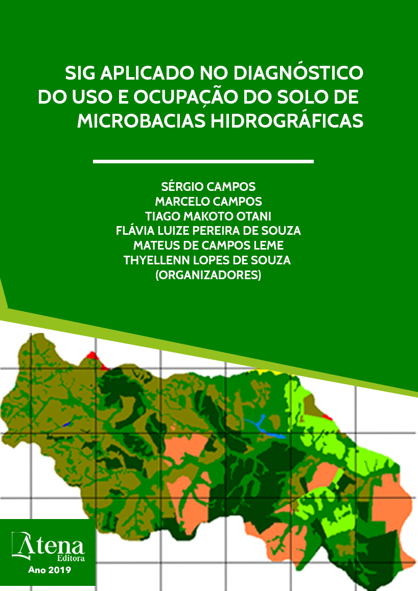
GEOPROCESSAMENTO E SENSORIAMENTO REMOTO APLICADO NA DETERMINAÇÃO DO USO DA TERRA NUMA MICROBACIA
O presente trabalho teve como
objetivo avaliar o uso da terra na microbacia
do Córrego Anhumas – Botucatu (SP) em
fotografais aéreas coloridas de 2000, através
do Sistema de Informações Geográficas
IDRISI. Os resultados permitiram constatar que
o Sistema de Informação Geográfica – IDRISI
3.2 foi eficiente na quantificação das áreas com
uso da terra. As imagens aéreas permitiram
o mapeamento do uso da terra de maneira
confiável, que servirão de dados para futuros
planejamentos na região, bem como, permitiram
verificar que a área vem sendo preservada
ambientalmente, pois não há deficiência de
florestamento. O alto índice de ocupação do
solo por pastagem na bacia (56,52%), reflete a
predominância da pecuária regional.
GEOPROCESSAMENTO E SENSORIAMENTO REMOTO APLICADO NA DETERMINAÇÃO DO USO DA TERRA NUMA MICROBACIA
-
DOI: 10.22533/at.ed.9631919114
-
Palavras-chave: SIG - IDRISI, uso da terra, microbacia
-
Keywords: GIS - IDRISI, land use, microbasin
-
Abstract:
The present work aimed to
evaluate the land use in the Anhumas - Botucatu
(SP) stream watershed in 2000 color aerial
photographs, through the IDRISI Geographic
Information System. The results showed that the
Geographic Information System - IDRISI 3.2 was
efficient in the quantification of land use areas.
The aerial images allowed the reliable land use
mapping, which will serve as data for future
planning in the region, as well as verifying that
the area has been environmentally preserved,
since there is no deficiency of afforestation. The
high rate of land occupation by pasture in the
basin (56.52%), reflects the predominance of
regional livestock.
-
Número de páginas: 15
- Sérgio Campos
- Shahine Paccola Gonçalves
- Mariana Garcia Da Silva
- Ana Paula Barbosa
- Flávia Mazzer Rodrigues
- Teresa Cristina Tarlé Pissarra
- Laura Rocha De Castro Lopes
- Bruno


