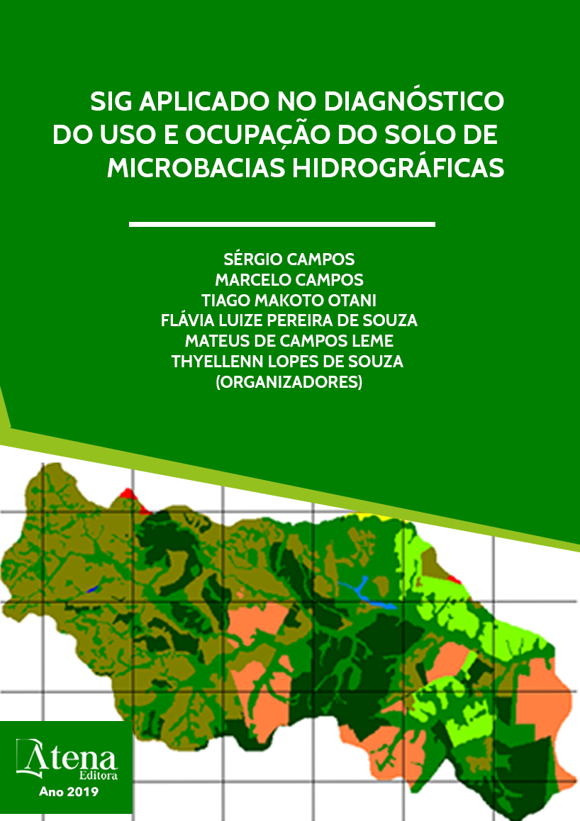
USO OCUPAÇÃO DA TERRA NA MICROBACIA DO RIBEIRÃO SÃO PEDRO – BOTUCATU, SP
O trabalho objetivou delimitar o
uso da terra da microbacia do Ribeirão São
Pedro - Botucatu (SP), obtido em fotografias
aéreas de 1962. Foram utilizados como bases
cartográficas: a carta planialtimétrica, editada
pelo IBGE (1969), para obtenção dos pontos
de controle que foram utilizados no processo
de georreferenciamento e as fotografias
aéreas (1962) para delimitação das coberturas
vegetais. O software Cartalinx foi utilizado para
conversão da informação analógica para digital
e para determinação das áreas das coberturas
vegetais. O uso da terra mostrou que os
campos sujos que ocuparam a maior parte da
área (52%). As matas (3,77%) e os cerrados
(14,96%) cobriam 1552,21ha, mostrando
com isso a predominância de solos de baixa
fertilidade (Campos, 1993). As fotografias
aéreas permitiram o mapeamento do uso da
terra de maneira confiável, bem como servirão
para futuros planejamentos regionais. A área
vinha sendo preservada ambientalmente
em 1962, pois não havia deficiência de
florestamento, visto que se apresentava coberta
com mais de 42% de florestas (matas ciliares e
cerrado), sendo o mínimo exigido pelo Código
Florestal Brasileiro vigente (20%).O alto índice
de ocupação do solo por pastagem na bacia
(24,03%), reflete a predominância da pecuária
regional.
USO OCUPAÇÃO DA TERRA NA MICROBACIA DO RIBEIRÃO SÃO PEDRO – BOTUCATU, SP
-
DOI: 10.22533/at.ed.9631919111
-
Palavras-chave: SIG - IDRISI, uso da terra, bacia hidrográfica, fotografias aéreas
-
Keywords: GIS - IDRISI, land use, watershed, aerial photographs
-
Abstract:
The objective of this study was
to delimit the land use of the Ribeirão São
Pedro - Botucatu (SP) microbasin, obtained
from aerial photographs from 1962. The
following cartographic bases were used: the
planialtimetric chart, edited by IBGE (1969), to
obtain the control points. that were used in the
georeferencing process and aerial photographs
(1962) to delimit the vegetation cover. Cartalinx
software was used for the conversion of analog
to digital information and for the determination
of areas of vegetation cover. Land use showed
that the dirty fields that occupied most of
the area (52%). The forests (3.77%) and
the cerrados (14.96%) covered 1552.21ha,
showing the predominance of low fertility
soils (Campos, 1993). Aerial photography has
allowed reliable land use mapping and will serve
for future regional planning. The area had been
environmentally preserved in 1962, as there was
no deficiency of afforestation, as it was covered
with over 42% of forests (riparian and cerrado),
Capítulo 1 2
and the minimum required by the current Brazilian Forest Code (20%). The high rate of
land occupation by pasture in the basin (24.03%) reflects the predominance of regional
livestock.
-
Número de páginas: 15
- Débora Marques Araújo
- Sérgio Campos
- Marina Granato
- Muriel Cicatti Emanoeli Soares
- Mariana Garcia Da Silva
- Bruno


