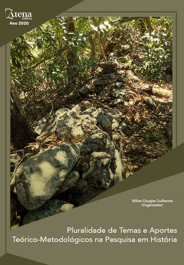
PROCESSOS NATURAIS E ANTRÓPICOS DE ALTERAÇÃO DA PAISAGEM DO MUNICÍPIO DE PARATY, BRASIL, 1965-2020
O município de Paraty possuiu seu apogeu econômico nos séculos XVII e XVIII, através do seu Caminho do Ouro e dos plantios de cana de açúcar do Café. Pouco descrito, o impacto ambiental desses ciclos levou a degradação de praticamente toda a cobertura florestal do município, praticamente extinguindo a produção da sua famosa aguardente pela falta d’água para força motriz dos engenhos. A partir da década de 60 do século XX, iniciativas do governo brasileiro impactaram o município de Paraty, principalmente com a construção do trecho da Rodovia BR-101, descortinando um litoral de extrema beleza cênica, com ocupação humana de extrema baixa densidade, que foi impactado pelo processo de “Acumulação por Espoliação” que vigorou na região através de agentes de capital privado internacional com o beneplácito do governo militar à época, alterando a dinâmica das populações tradicionais existentes na região, promovendo a capitalização da terra. Paralelamente, a cobertura florestal, praticamente inexistente até a cota de 100 metros de suas encostas em meados do século XX, se regenerou a partir dos fragmentos florestais remanescentes, sendo que em 2020 o município possui florestas cobrindo praticamente 90% de seu território, principalmente na região da Juatinga, o palco dos principais casos de Acumulação por Espoliação ocorridos na região. Assim, latifúndios improdutivos resultantes da capitalização da terra e a vedação de uso devido a legislação ambiental que foi implantada no período permitiram a recuperação de grande parte da paisagem natural, além da proteção, conservação e recuperação do seu patrimônio histórico pelo IPHAN. Já a partir da abertura da Rodovia BR-101, trecho conhecido como Rio-Santos, no início da década de 70, houve a intensificação do turismo, proliferação de casas de veraneio e a expansão do vetor de expansão urbana, que passaram a se constituir os principais processos de alteração da paisagem do município.
PROCESSOS NATURAIS E ANTRÓPICOS DE ALTERAÇÃO DA PAISAGEM DO MUNICÍPIO DE PARATY, BRASIL, 1965-2020
-
DOI: 10.22533/at.ed.92720210924
-
Palavras-chave: História de Juatinga - Paraty (RJ), Transformação da paisagem, Acumulação por Espoliação, Mata Atlântica, Unidades de Conservação
-
Keywords: Accumulation by Dispossesion; Paraty and Juatinga History; Land Use Changes, Atlantic Rainforest, Nature Conservancy
-
Abstract:
The municipality of Paraty had its economic apogee in the seventeenth and eighteenth centuries, through its Gold Way and the coffee sugarcane plains. Little described, the environmental impact of these cycles led to the degradation of the forest cover of the municipality, practically extinguishing the production of its famous brandy due to lack of water to drive the mills. From the 60s of the twentieth century, initiatives of the Brazilian government impacted the municipality of Paraty, mainly with the construction of the stretch of highway BR-101, unveiling a coast of extreme scenic beauty, with human occupation of extremely low density, which was impacted by the “Accumulation by Spoliation” process that was in place in the region through agents of private international capital with the benefit of the military government at the time, changing the dynamics of the traditional populations existing in the region, promoting the capitalization of the land. At the same time, the forest cover, practically nonexistent up to 100 meters of its slopes in the mid-twentieth century, regenerated from the remaining forest fragments, and in 2018 the municipality had forests covering 90% of the municipality's territory, mainly in the Juatinga region, the stage of the cases of Accumulation by Spoliation that occurred in the region. Thus, unproductive large estates resulting from land capitalization and the prohibition of use due to the environmental legislation that was implemented in the period allowed the recovery of much of the natural landscape, in addition to the protection, conservation and restoration of its historical heritage by IPHAN. Since the opening of the BR-101 Highway, a stretch known as Rio-Santos, in the early 70's, there was an intensification of tourism, proliferation of summer houses and the expansion of the urban expansion vector, which became the main processes of alteration of the landscape of the municipality.
-
Número de páginas: 15
- Rodrigo Zambrotti Pinaud


