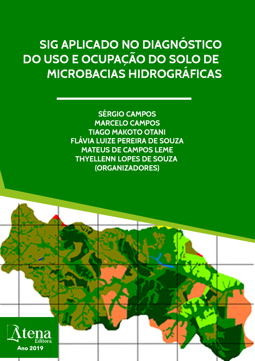
MONITORAMENTO E ANÁLISE TEMPORAL DO USO DA TERRA NUMA MICROBACIA
O conhecimento do uso do solo
em um determinado local propicia um grande
volume de informações sobre o uso da terra
naquele momento, permitindo o planejamento de
atividades agrícolas e servindo para avaliações
de expansões de culturas. O trabalho objetivou
monitorar e analisar o uso da terra na microbacia
do Córrego do Petiço - Botucatu (SP) obtidos
pelo Sistema de Informações Geográficas
IDRISI em imagem de satélite digital, bandas 3,
4 e 5 do sensor “Thematic Mapper” do LANDSAT
– 5, da órbita 220, ponto 76, quadrante A,
passagens de 09/06/97 e 23/10/2006, escala
1:50000, para delimitação das coberturas
vegetais. Os resultados mostraram que as
pastagens, florestas e reflorestamentos
foram as coberturas vegetais que ocuparam
maior parte da área, representando mais de
95%. Os reflorestamentos e as pastagens
representaram mais de 78% da área, ou seja,
cobriam 2690,227ha, mostrando com isso a
predominância de solos de baixa fertilidade. As
fotografias aéreas pancromáticas e a imagem
de satélite permitiram o mapeamento do uso
da terra de maneira confiável, servindo de
dados para futuros planejamentos na região.
Ambientalmente, a microbacia não vem sendo
conservada, pois há deficiência de 2,16% de
florestamento, visto que se apresenta coberta
com menos de 20% de florestas (matas ciliares,
zonas de cerrado e de florestas propriamente
ditas), mínimo exigido pelo Código Florestal
Brasileiro (20%). O alto índice de ocupação do
solo por reflorestamento na bacia (49,38%),
reflete a predominância da silvicultura regional.
MONITORAMENTO E ANÁLISE TEMPORAL DO USO DA TERRA NUMA MICROBACIA
-
DOI: 10.22533/at.ed.9631919118
-
Palavras-chave: Geoprocessamento, sensoriamento remoto, SIG – Idrisi, Imagens aéreas.
-
Keywords: Geoprocessing, Remote Sensing, GIS - Idrisi, Aerial Imaging.
-
Abstract:
Knowledge of land use at a given
location provides a large amount of information
on land use at that time, allowing for the planning
of agricultural activities and for assessing crop
expansions. The objective of this work was
to monitor and analyze land use in the Petiço
Stream - Botucatu (SP) watershed obtained
by the IDRISI Geographic Information System
in digital satellite image, bands 3, 4 and 5 of
the LANDSAT - 5 “Thematic Mapper” sensor,
from orbit 220, point 76, quadrant A, passages
from 6/9/97 and 10/23/2006, scale 1: 50000, to
delimit the vegetation cover. The results showed
that pastures, forests and reforestation were the
vegetation cover that occupied most of the area,
representing more than 95%. Reforestation and
Capítulo 8 41
pastures represented more than 78% of the area, covering 2690.227 ha, showing
the predominance of low fertility soils. Panchromatic aerial photographs and satellite
imagery have reliably mapped land use and provided data for future planning in the
region. Environmentally, the microbasin has not been conserved, since there is a
deficiency of 2.16% of afforestation, as it is covered with less than 20% of forests
(riparian forests, cerrado and proper forests), minimum required by the Code. Brazilian
Forestry (20%). The high rate of land use by reforestation in the basin (49.38%) reflects
the predominance of regional forestry.
-
Número de páginas: 15
- Sérgio Campos
- Ana Paula Barbosa
- Mariana Garcia Da Silva
- Leslie Ivana Serino Castro
- Mariana Lisboa Pessoa
- Bruno


